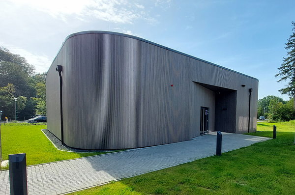
Institute for Advanced Simulation (IAS)
Servicemeu
- Deutsch
- English
-
Search
Institute for Advanced Simulation (IAS)
The research group Earth System Data Exploration (ESDE) develops innovative methods and tools for the integration and analysis of complex, heterogeneous, and big datasets related to air pollution, weather and climate. We work together with the Cross-Sectional Team Deep Learning and the Simulation Laboratories SL Climate Science and SL Terrestrial Systems to apply modern IT methods in order to advance the scientific analysis of earth system data from different observation systems and models. It benefits from FSD activities on federated data services.
Activities focus on the large international Tropospheric Ozone Assessment Report initiative, for which the ESDE group operates the central data repository and develops high-performance web applications as well as novel analysis methods. Much of this work is funded through the ERC Advanced Grant IntelliAQ. A second line of research investigates the potential of Deep Learning for improving local scale weather prediction (DeepRain project).
The hierarchical infrastructure of geodata web services that is built by the ESDE group contributes to the development of national and international research data management infrastructures. Our aim is to implement true data interoperability. Our applications thus serve as testcase for JSC’s distributed and HPC infrastructures while at the same time providing services of real value to the earth science community and the public. Within the EarthServer Datacube Federation ESDE provides access to its Datacube with numerical forecast data from COSMO model runs.
The research group reaches out to various groups in different Helmholtz centres, is associated with the Geoverbund ABC/J and collaborates with many international research groups, both with respect to earth system science and data management and analytics
The group has strong links to the JSC Simulation Laboratories on Climate Science and Terrestrial Systems and to the Cross-Sectional Team Deep Learning.
Copyright: Forschungszentrum Jülich
This figure illustrates the ESDE plans for building an interoperable geodata infrastructure with novel analytics methods and web services. The current focus lies on precipitation data (top left) and air quality data (lower left). High-resolution spatial geodata provides the geographic context and is used for characterization of measurement stations and weather or air quality regions.
PD Dr. Martin Schultz | Group leader |
Jessica Ahring | |
Clara Betancourt | |
Dr. Claudia Comito | associated member |
Eleonora Epp | |
Dr. Bing Gong | |
Felix Kleinert | |
Michael Langguth | |
Max Lensing | |
Lukas Leufen | |
Karim Mache | |
Amirpasha Mozaffari | |
Ankit Patnala | |
Mathilde Romberg | |
Dr. Jedrzej Rybicki | associated member |
Sabine Schröder | |
Niklas Selke | |
Dr. Scarlet Stadtler | |
Dr. Jianing Sun | associated member |
Olaf Stein | associated member |
Falco Weichselbaum | |
Ji Yan |
Earth System Data Exploration Group, June 2019
Copyright: Forschungszentrum Jülich
Ann-Kathrin Edrich | |
Severin Hußmann | |
Dr. Najmeh Kaffashzadeh | |
Timo Stomberg | |
Jan Vogelsang |